Unleashing the Power of Geospatial Insights

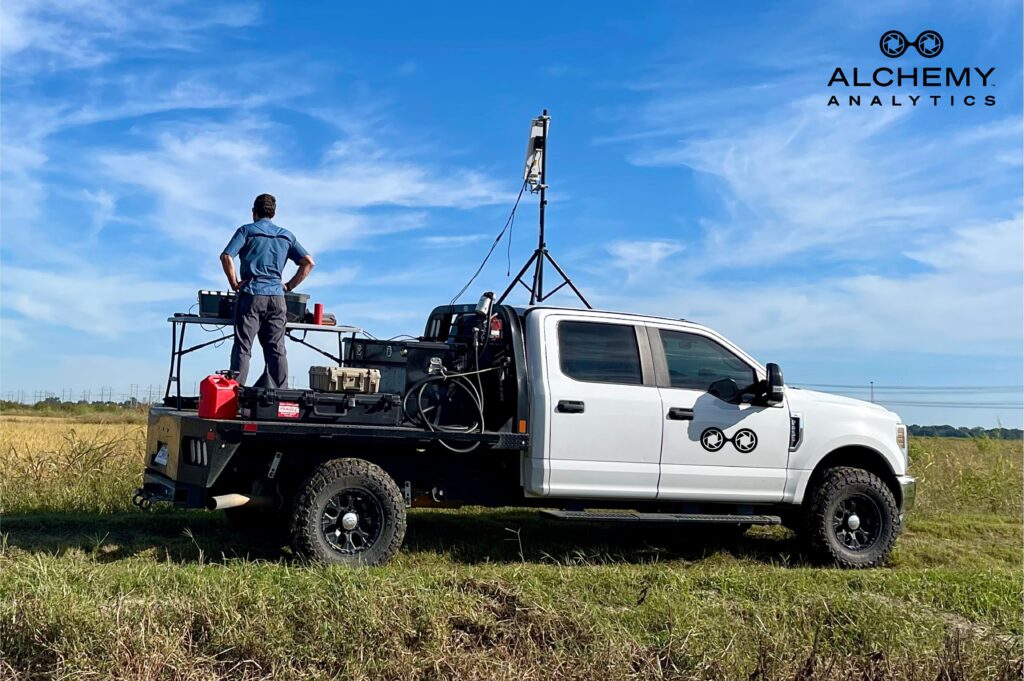
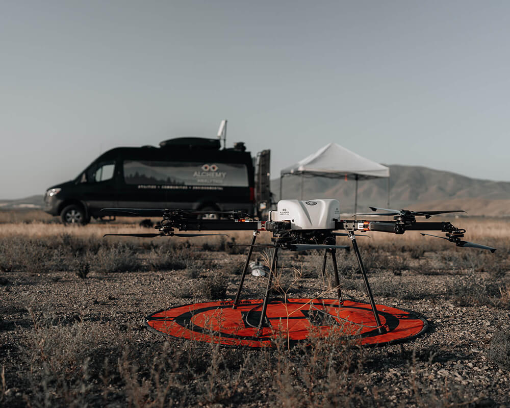
With Alchemy Analytics, the boundaries of drone-based geospatial solutions are constantly being redefined. Our expertise goes beyond traditional approaches, delivering precision insights that empower you to solve your most pressing challenges.

Whether optimizing infrastructure, safeguarding natural resources, or navigating defense & security use-cases, we tailor advanced UAS technology and cutting-edge sensor systems to provide clarity and control over your most complex problem sets.

Request a Demo
https://www.youtube.com/watch?v=JFfQZLxxWhc

Our tailored solutions go beyond just saving you time and money—they enable you to proactively address risks and optimize resources.

From characterizing utility circuits to evaluating sensitive vegetation zones and defensible space for vegetation budgets, or delivering asset management solutions, our applied analytics give customers valuable, expanded knowledge.

Industry tailored information services and solutions to help customers make the right decisions.

Our strength lies in applying the right sensor technologies and efficient workflows to meet the unique demands of each project. Whether dealing with critical infrastructure, environmental monitoring, or defense-related challenges, we develop precise, efficient data solutions tailored to your needs. Our expertise spans a wide range of remote sensing technologies—including LiDAR, hyperspectral imaging, magnetometry, FMV and thermal payloads—ensuring that we capture the most relevant and actionable data.

Alchemy Analytics Desktop2

Technology designed to create insights you can implement now and later

Our real-world experience, both domestically and internationally, has proven that the key to solving complex problems is not just data collection, but developing robust data workflows that drive meaningful insights. From optimizing vegetation management for utility companies to providing route clearance and UXO detection solutions for defense operations, our data prescriptions and logic paths are designed to address your most pressing and expensive challenges with precision.

Alchemy Analytics Tablet

View actionable data through our secure FlyAlchemy portal

From characterizing utility circuits to evaluating sensitive vegetation zones and defensible space for vegetation budgets, or delivering asset management solutions, our applied analytics give customers valuable, expanded knowledge.

All data, analytical products, and dashboards are delivered through our proprietary FlyAlchemy customer platform. Accessible on any device, anywhere with internet, our multi-layered interface provides instant access to a common operating picture with critical insights for a myriad of diverse stakeholders.

Let us show you what we can do for you.

We have decades of experience creating advanced data solutions

At Alchemy Analytics, we are driven by a commitment to solving complex, high-stakes problems through cutting-edge geospatial solutions. Our team brings together decades of expertise across diverse disciplines, including remote sensing, geospatial analytics, environmental science, and data science. We’ve built a reputation for excellence by applying our knowledge of advanced sensor technologies and data workflows to address the toughest challenges in infrastructure management, environmental monitoring, and defense.

From conducting large-scale magnetic surveys and UXO detection to supporting critical infrastructure inspections, our experience spans both domestic and international projects. We pride ourselves on delivering precision data and actionable insights, empowering our clients to make informed decisions that reduce risks and optimize resources. Whether it’s helping utility companies respond to emergencies or providing customized solutions for defense operations, Alchemy Analytics is your trusted partner for advanced UAS and remote sensing capabilities.

Contact us today for a free consultation.

Through technology and applied data, we reduce wildfire risk for communities

Through our proprietary data stack and state-of-the-art process automation for edge computing applications, we aim to provide precise insights into critical infrastructure—both surface and subsurface—empowering our clients to effectively manage risks. We deliver tailored, unmanned earth observation solutions that drive substantial cost savings and offer actionable insights to a diverse range of customers.

Our vision extends to the flyAlchemy platform, where we foster enhanced business-to-business collaboration by enabling seamless mapping, visualization, and documentation for a wide range of stakeholders. From operations teams and environmental planners to emergency managers and property owners, all benefit from clearer, more accurate data to make informed decisions and mitigate potential risks.

Capturing clearer, up-to-the second data means more informed decisions

At Alchemy Analytics, we integrate advanced UAS technology with a wide range of sensors, including LiDAR, hyperspectral, thermal, and geophysical systems, to capture high-resolution data across industries. From infrastructure inspections and environmental monitoring to defense and resource management, our solutions are designed to provide comprehensive, actionable insights.

Delivering precise, real-time data empowers our clients to make informed, mission-critical decisions. Our data is securely archived within the flyAlchemy platform, enabling clients to access it anytime and anywhere. Whether managing critical infrastructure, planning a project, or responding to emergencies, our technology ensures that data is available when it matters most.

Our Story

We have decades of experience creating advanced data solutions

Our team is dedicated to reducing disasters. We are a diverse group of fire and data analysts with decades of experience in our respective disciplines: fire behavior and suppression; wildland management; environmental science; geospatial analytics; and data science. We have extensive knowledge of advanced data solutions, fire behavior analysis (FBAN), geospatial information systems (GIS), and fuels management. We understand wildland behavior analysis, how to assess environmental factors, or how to rapidly respond to utility emergencies.

Contact us today for a free consultation.

Our Vision

Through technology and applied data, we reduce wildfire risk for communities

Through our proprietary full data stack and state-of-the-art data process automation, we aim to characterize the critical environmental characteristics so risks can be managed.

We tailor and deliver unmanned earth observation solutions that deliver substantial cost savings and actionable understanding for our ongoing customers.

Even customers who need more limited environmental information stand to gain tremendous operational and business advantage from our commercial solutions.

All of our stakeholders, from operations teams, environmental planners, emergency managers, homeowners’ associations, to property owners, benefit from a clearer picture of potential risks.

Our Technology

Capturing clearer, up-to-the second data means more informed decisions

We leverage our expertise in capturing high-fidelity imagery to deliver timely data and insights across the lifespan of a wildfire.
Imagery and data are securely archived within a dedicated dashboard enabling them to access their data anytime and anyplace — even while fighting a wildfire.

Products and Services

Man standing on bed of a truck with equipment for remote sensing.

UAS Remote Sensing Services

Our expertise extends beyond utility and wildfire risk assessments, now encompassing critical infrastructure, specialized remote sensing, and advanced training services. From multi and hyperspectral imagery to LiDAR, geophysics, and real-time thermal surveillance with ATAC, we provide a suite of turnkey remote sensing modalities.

Photo of drone on landing page with control center van in the background

UAS Remote Sensing Solutions

Data prescriptions and workflows are married to sensors and data logic paths to ensure the UAS solution addresses and solves problem sets.  As a reseller of Perimeter 8 drones from Skyfront, we leverage our extensive payload and sensor knowledge to configure, deliver, and train teams to operate these hardware and software solutions.

Alchemy Analytics Desktop Interface

FlyAlchemy Platform

The flyAlchemy portal is the cornerstone of our offerings. This proprietary, cloud-based (or on-premises) platform transforms how customers and stakeholders manage and interact with geospatial projects. Accessible through subscription services, licensing, and white label agreements, it seamlessly integrates map analytics, image mosaics, field data, and related documentation. With dashboards and a LiDAR point cloud viewer, the flyAlchemy portal enhances your experience, providing a common operating picture for stakeholders to make informed decisions.

UAS Remote Sensing Services

Man standing on bed of a truck with equipment for remote sensing.

Our expertise extends beyond utility and wildfire risk assessments, now encompassing critical infrastructure, specialized remote sensing, and advanced training services. From multi and hyperspectral imagery to LiDAR, geophysics, and real-time thermal surveillance with ATAC, we provide a suite of turnkey remote sensing modalities.

UAS Remote Sensing Solutions

Photo of drone on landing page with control center van in the background

Data prescriptions and workflows are married to sensors and data logic paths to ensure the UAS solution addresses and solves problem sets.  As a reseller of Perimeter 8 drones from Skyfront, we leverage our extensive payload and sensor knowledge to configure, deliver, and train teams to operate these hardware and software solutions.

FlyAlchemy Platform

Alchemy Analytics Desktop Interface

The flyAlchemy portal is the cornerstone of our offerings. This proprietary, cloud-based (or on-premises) platform transforms how customers and stakeholders manage and interact with geospatial projects. Accessible through subscription services, licensing, and white label agreements, it seamlessly integrates map analytics, image mosaics, field data, and related documentation. With dashboards and a LiDAR point cloud viewer, the flyAlchemy portal enhances your experience, providing a common operating picture for stakeholders to make informed decisions.

We look forward to connecting with you.

Name(Required)
Industry(Required)
Check the box that best describes your industry

By submitting this form, you are consenting to receive marketing emails from Alchemy Analytics. You can revoke your consent to receive emails at any time by using the unsubscribe link, found at the bottom of emails.
This field is for validation purposes and should be left unchanged.